Contents
Index
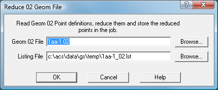
Reduce 02 Geom File
The Geom Design File
This is a series of commands which define the geometry of a job. It could have been created using the
old ACS program GEOM10 or be from a log file which recorded the way that points were
defined in GeoSurvey. In many parts of a subdivision, points lie in a fixed relationship
to one another such the frontage points around a cul de sac. If one point has to be moved a
small amount (say the centre point of the turning circle) then all the related points can be
recalculated by reprocessing the “02” file
Use the Points Reduce Geom File option to perform the operation after the
file has been edited to effect any changes.
See Design File for an explanation of the Design File.